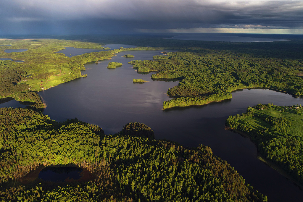
This long ridge between the lakes is a continental divide between the Atlantic Ocean and the Arctic Ocean
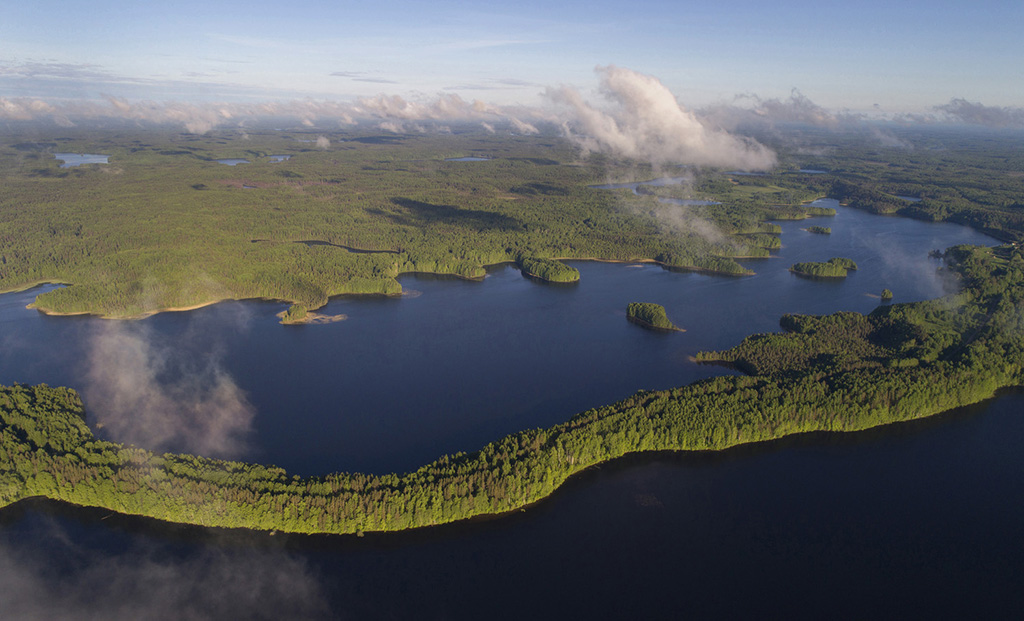
Lake Maselga from above. Kargopolsky sector of the national park
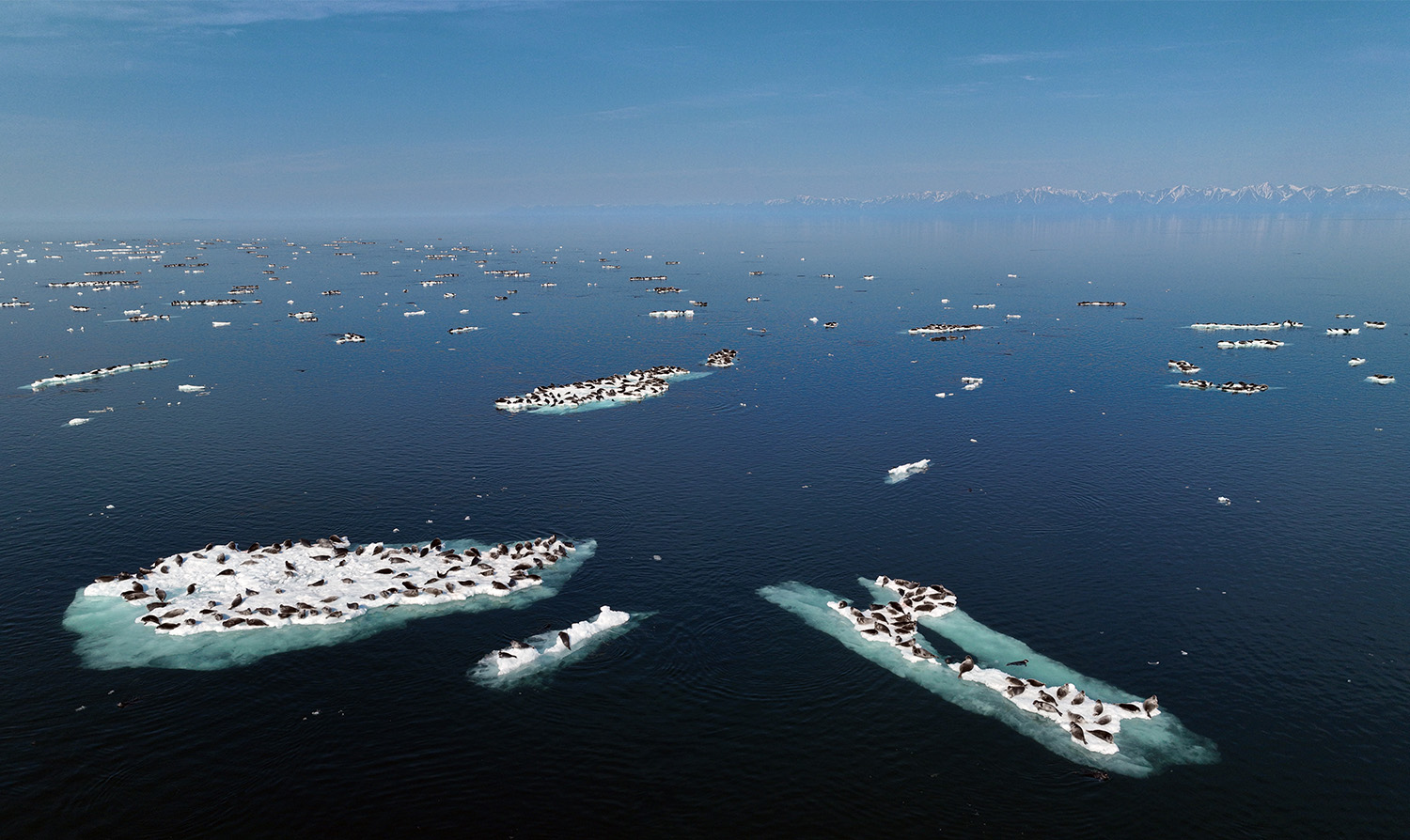
Baikal seals (nerpa) bathe in the June sun on melting ice
Shumnaya River near its source in the caldera of the Uzon Volcano
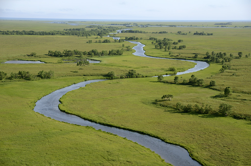
Khryukinka River near its confluence with Lebyazhka River
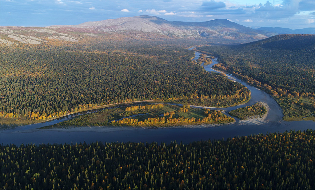
Unan River Valley
Lower reaches of Meteorologist Creek
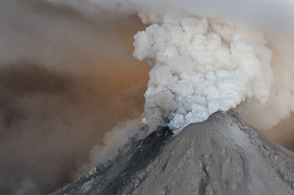
Kizimen Volcano erupting, January 2011
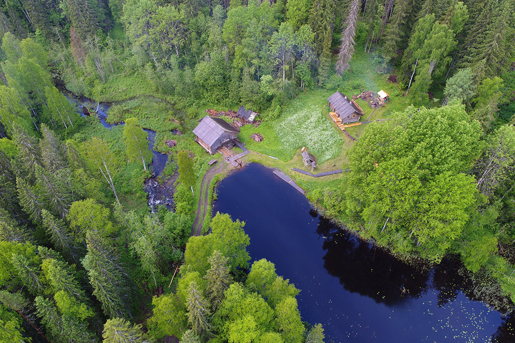
Restored watermill
Chapel in Glazovo
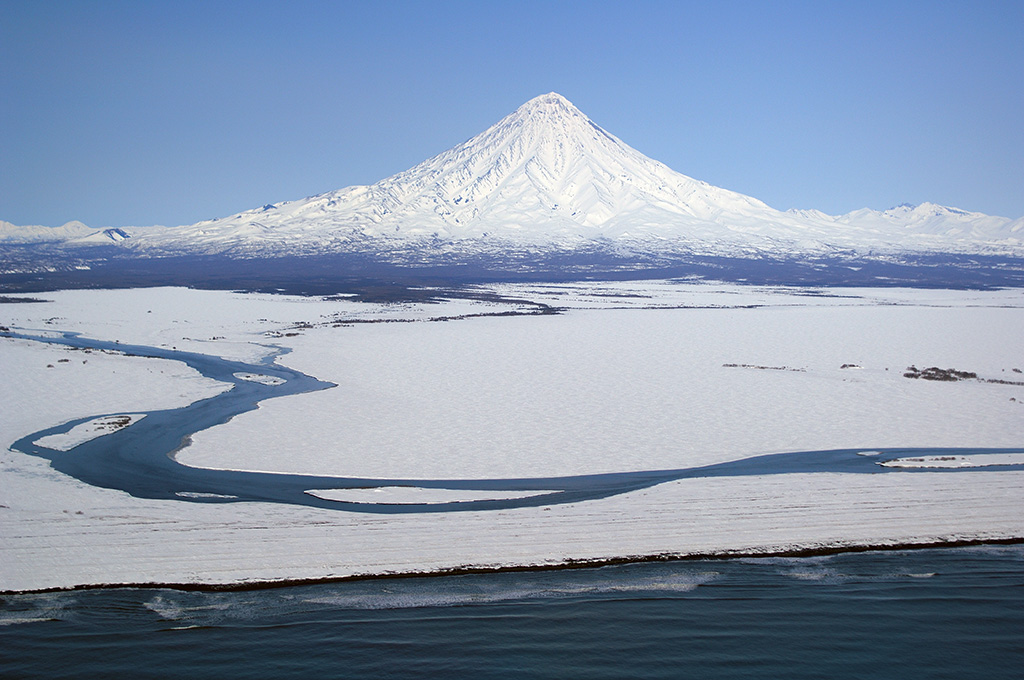
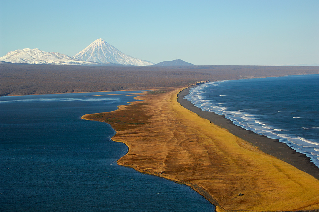
Snow-covered Kronotsky and the Pacific Coast. Kronotsky Volcano, with its near perfect cone, is connected to the cold waters of the Pacific by the Kronotskaya River
In the central part of the Kronotsky Peninsula
The lower reaches of the Listvenichnaya and the shore of Kronotskoye Lake covered in ash from the eruption of Kizimen Volcano
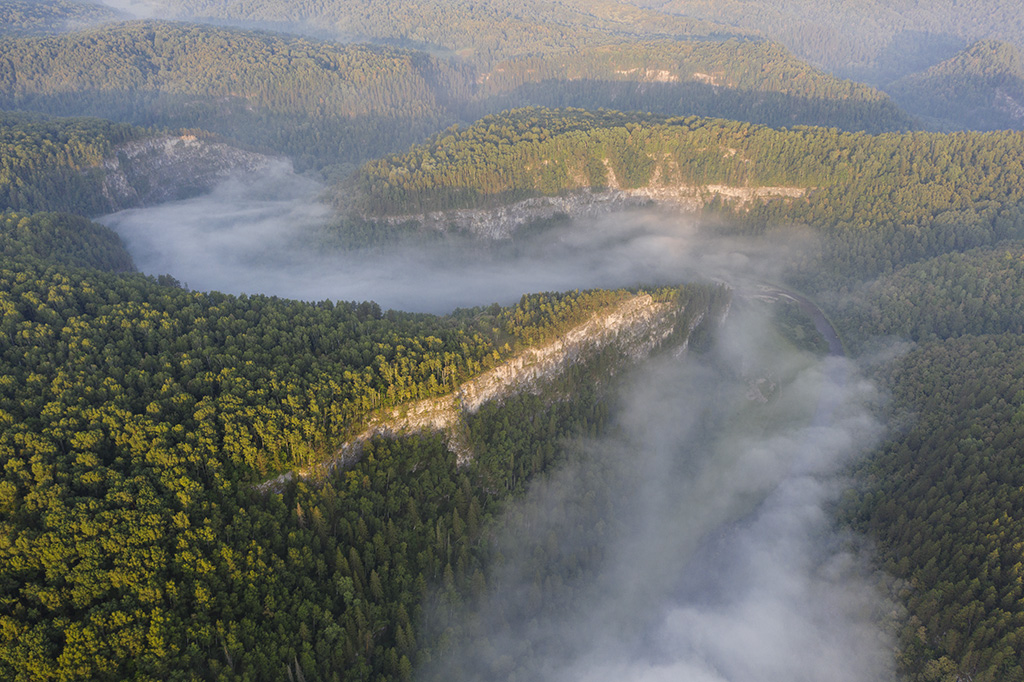
Morning fog on the Nugush River in Bashkiria National Park
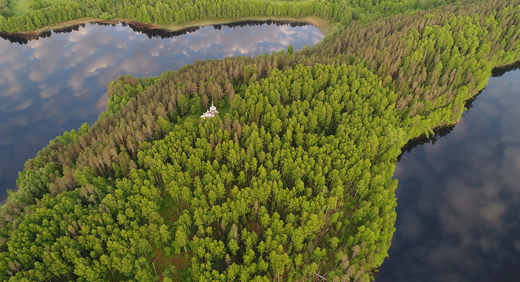
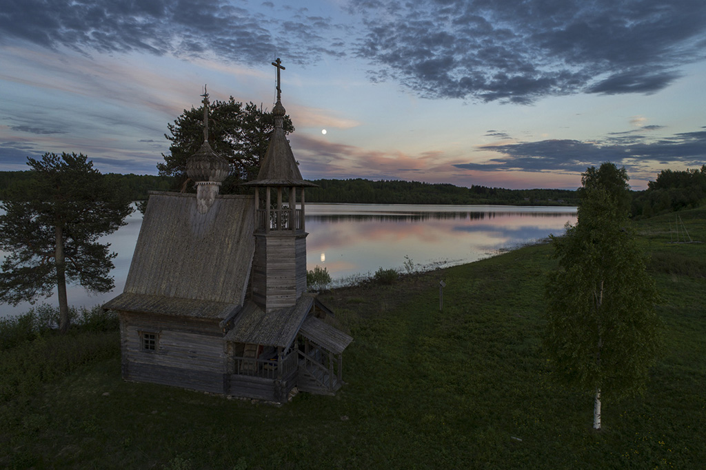
Wooden Church of St. Alexander Svirsky on Khizh-Gora
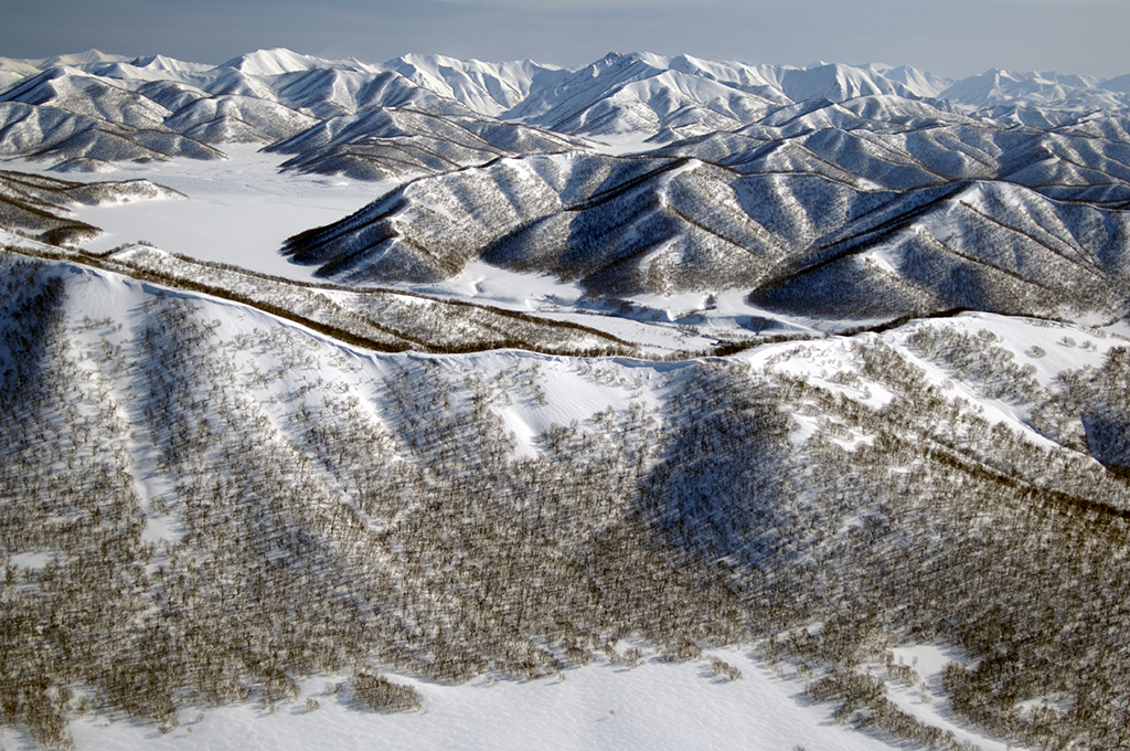
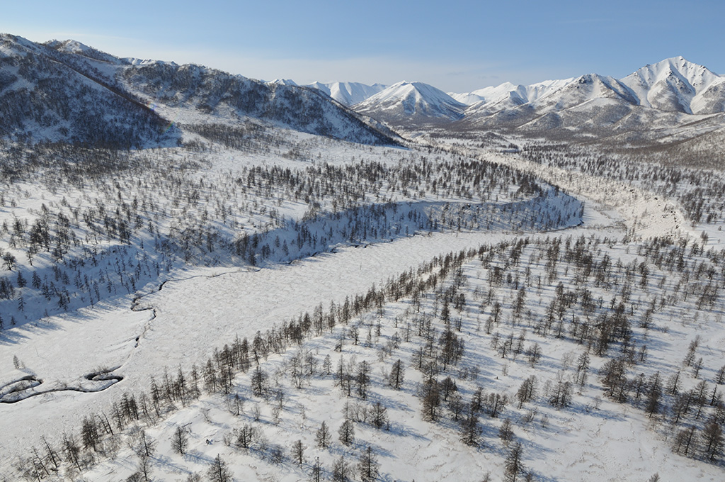
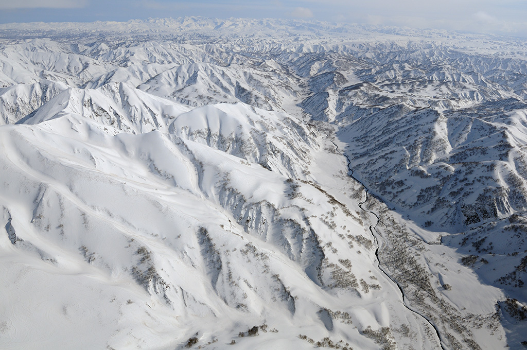
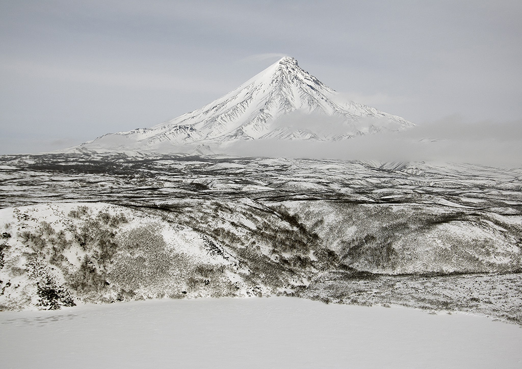
Winter mountains with Erman birch forest cover
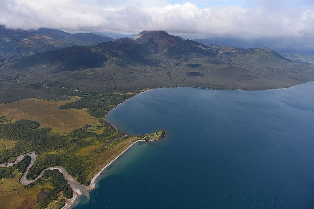
Semyachiksky Bay formed by a sandbar along the Pacific coast teems with bird and marine mammal life. In the background, the snow covered Kikhpinych and Kronotsky volcanoes are visible
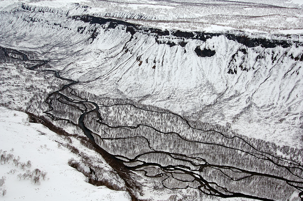
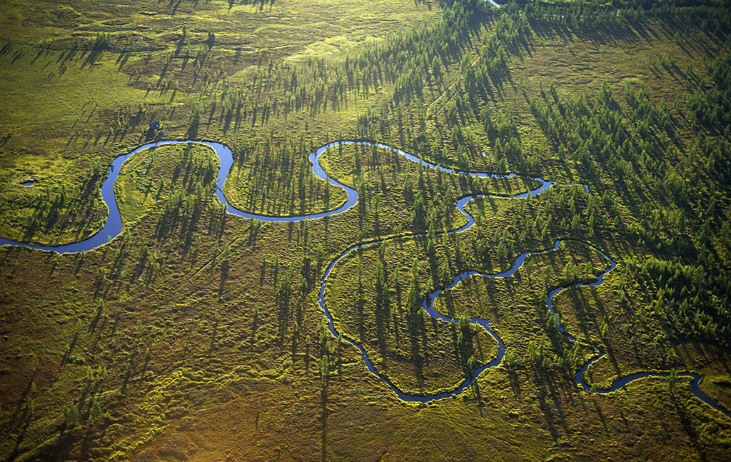
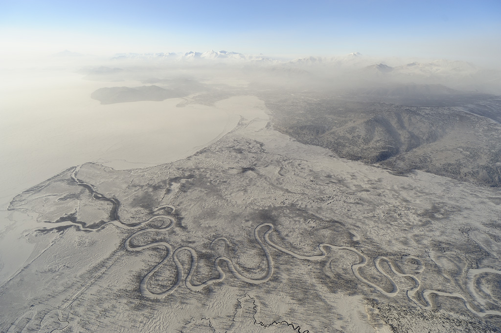
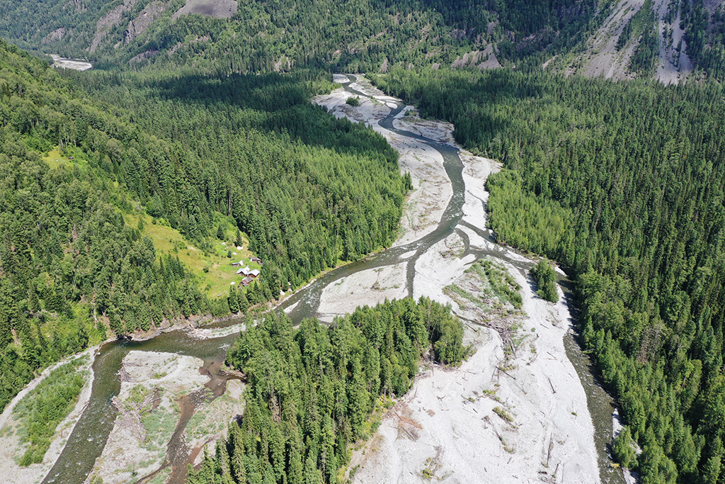
The large channels of the Shumnaya river appear to be rivulets from the air
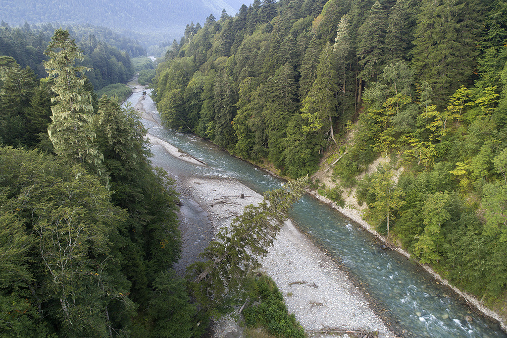
The rocky banks of the Shchugor River
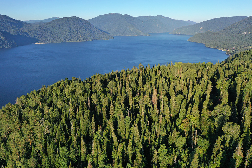
Pristine coniferous forests of the Altai Nature Reserve with Teletskoye Lake as a backdrop
Pristine coniferous forests in the Malaya Laba river valley upstream of the Umpyr ranger station
The perfect cone of Kronotsky Volcano is visible everywhere in the reserve. The frozen edge of Kronotskoye Lake is in the foreground
Yugyd Va is one of the largest national parks in Russia: its area is about 2 million hectares, it stretches from north to south - 280 km, and from west to east - 120 km ...
Wooden Church of St. Alexander Svirsky on Khizh-Gora
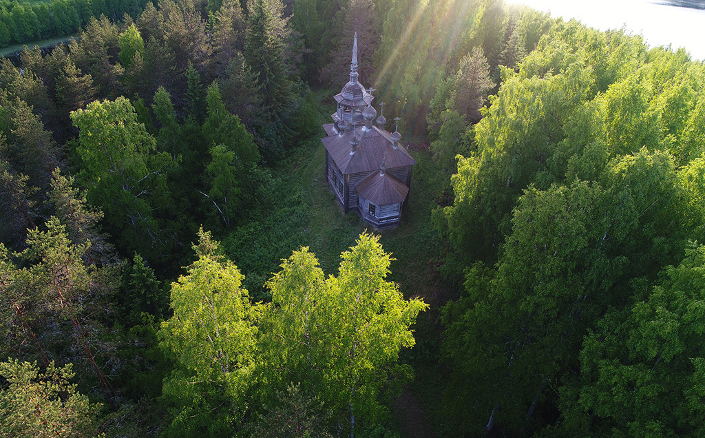
An 19-th century wooden сhurch at Khizh-Gora near the village of Maselga
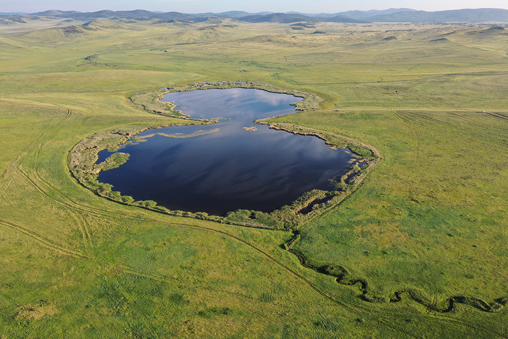
Lake Eight in the Itkul Lake cluster
Steppe lakes in the Itkul Lake cluster
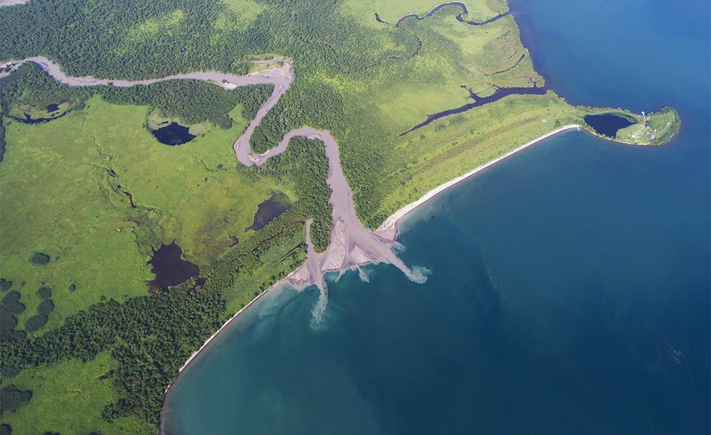
Kuril lake. Cape Travyanoy (Grassy) and mouth of the Khakitsyn River
Kuril lake. Cape Travyanoy (Grassy) and mouth of the Khakitsyn River. View from a helicopter.
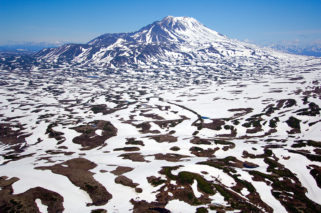
Snow still covers much of the Taunshitz Volcano in June
The Torgovaya River flows into the Shchugor River
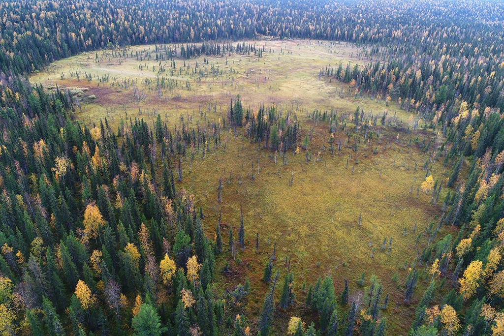
A peat bog in the middle of the taiga
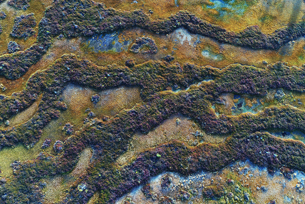
View from above. Swamp rhythms
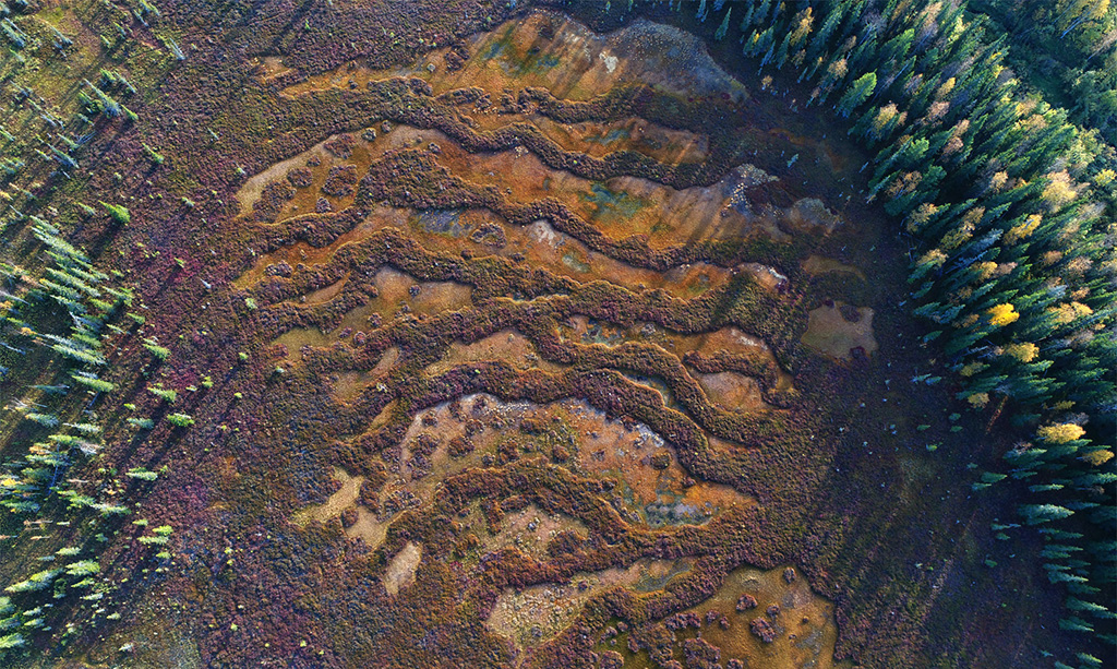
A swamp in the taiga. View from above
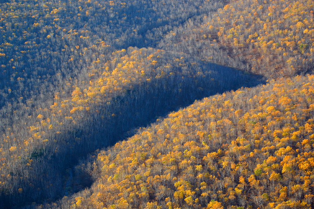
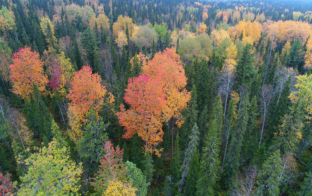
October stone birch forest. The folds of gorges form deep shadows in a brightly colored autumn forest
The Yerinat River (left) flows into the Bolshoi Abakan River (right). On the bank of the Yerinat you can see the buildings of the Lykov hermit family
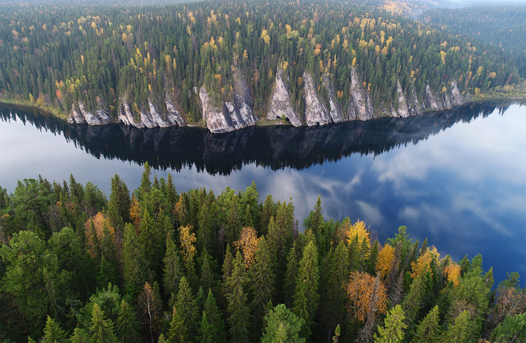
Lower "gate" on the Schugor River
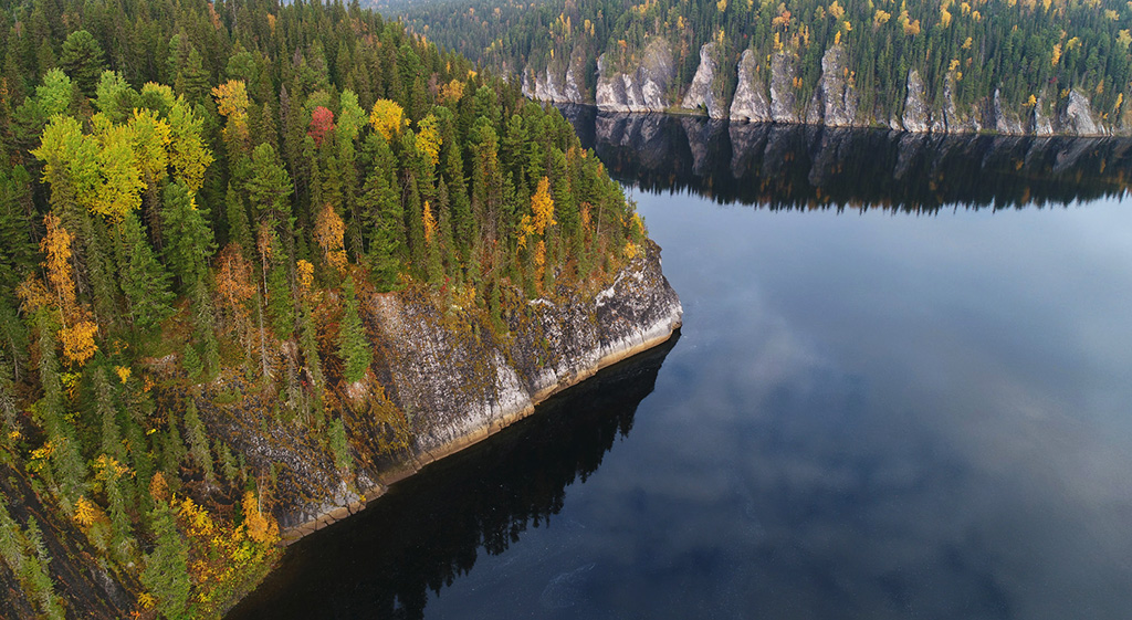
Lower "gate" on the Schugor River'. View from above
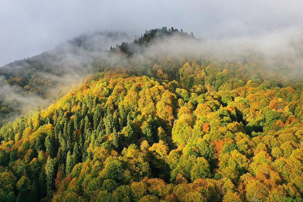
The beginning of golden autumn in the forests of the Caucasus Nature Reserve
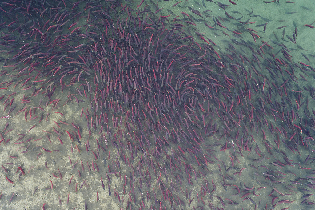
Sockeye salmon from above
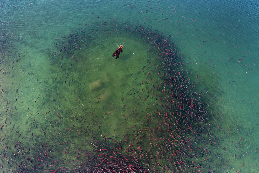
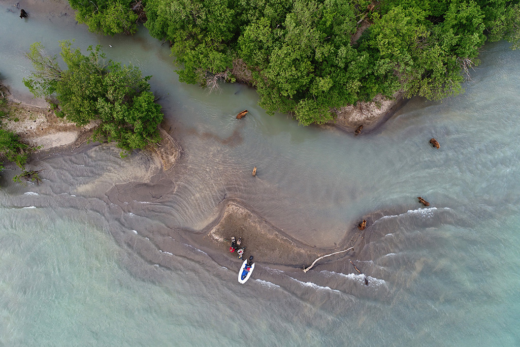
Kuril lake. Bear and salmon from above
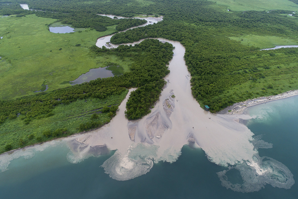
Kuril lake. The mouth of the Hakitsin River after the typhoon
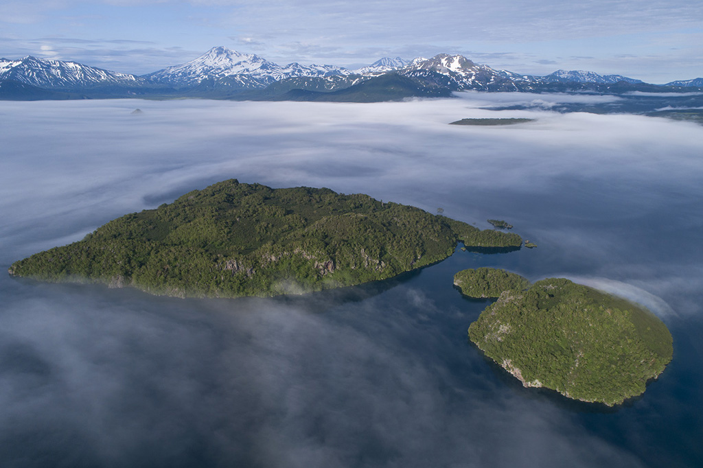
It's a beautiful morning. The Samangi Islands in the northern part of Lake Kuril
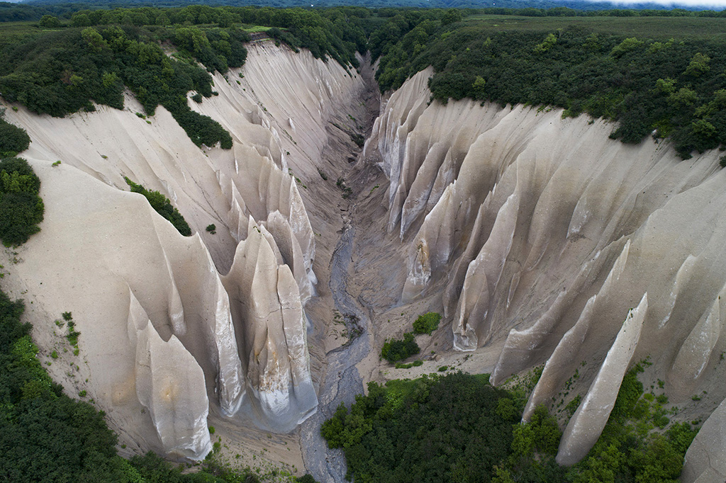
Kutkh’s Bats (Boats) are a natural monument created from bizarrely exposed pumice. Literally translated, this site's name is «Boats of the god Kutkh». Located four kilometers from the source of the Ozernaya River (Kuril Lake)
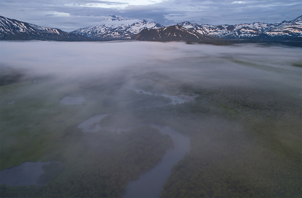
Morning fog over the lower reaches of the Hakitsin River
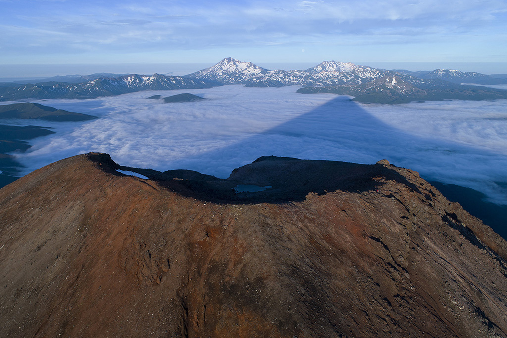
The crater of Ilyinsky volcano from the northern side. In the background is Kuril lake in the morning fog...
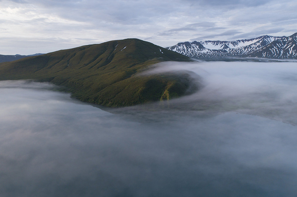
A swirl of fog over Kuril Lake near Mount Kirushutk
Kuril lake. Photographers and bears at the mouth of the Vychinkia river